Brief History of Gumla District
Gumla district was carved out of the old Ranchi district in 1983 and has a rich history shaped by tribal heritage, ancient dynasties, colonial rule, and social movements.During the medieval era, the Chhotanagpur region was ruled by the kings of the Nagvanshi dynasty and Baraik Devenandan Singh ruled the Gumla region.During British rule in India Gumla was in Lohardaga district, and in 1800 there was a revolt against the Raj. In 1807, the Oraons of Barway (west of Gumla) murdered their landlord from Srinagar, and the uprising spread throughout Gumla. In 1818, Bakhtar Say reportedly played a prominent role. In 1843, Gumla became part of Bishunpur province. The province, which was abolished in 1899, was later named Ranchi; in 1902, Gumla became a subdivision of Ranchi district.Gumla began as a hamlet. A week-long “Cow Fair” (Gau-Mela) took place every year, where items in daily use (utensils, ornaments, grain and sometimes cattle) were sold or bartered. Since these items were only available at the fair, people would keep lists during the year of what they needed. The hamlet’s population grew, and it became a village named “Gumla” (a derivative of Gau–Mela)
District Overview
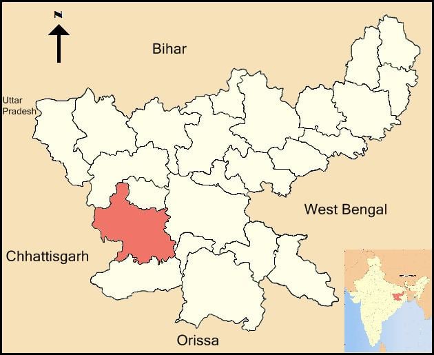
The district of Gumla was carved out of old Ranchi district by the Govt. of Bihar Notification No. 7/T-1-204/83 dated 16.5.1983. It acquired 5347.25 sq km area from its parent district of Ranchi. It is one of the 5 districts of South Chotanagpur division. The district lies between 22.35° to 23.33° north latitude and 84.40° to 85.1° east longitude. Gumla district contains 3 sub-divisions, 12 Community Development Blocks and 3 census towns: Gumla, Ghaghra and Toto. Gumla is the principal town of the district and headquarters of Gumla Sadar sub-division.It is a predominantly tribal district. It is bounded by Latehar and Lohardaga in the north, Ranchi and Khunti in the east, Simdega in the south, and Chhattisgarh in the west.
Name of the District
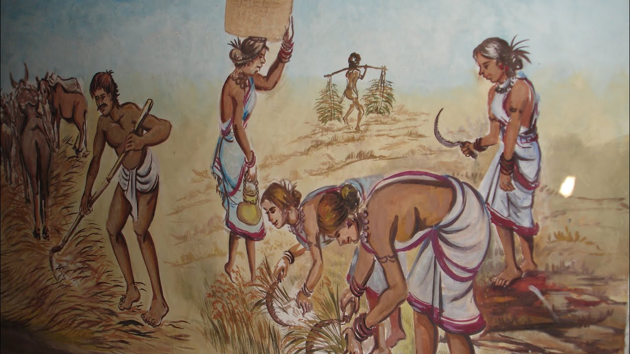
Gumla is widely known for its tribal traditions, forested landscape, and cultural diversity. The district’s social and political history is closely linked with indigenous communities such as the Mundas and Oraons.One legend connects the name “Gumla” with the Mundari language and the local occupation of rice processing work, known as dhan-kutna. Another legend relates it to “Gau-mela,” the cattle fair that was held every Tuesday in Gumla town.In rural areas, Nagpuri and Sadri people still call it “gomila.”Gumla began as a hamlet. A week-long “Cow Fair” (Gau-Mela) took place every year, where items in daily use (utensils, ornaments, grain and sometimes cattle) were sold or bartered. Since these items were only available at the fair, people would keep lists during the year of what they needed. The hamlet’s population grew, and it became a village named “Gumla” (a derivative of Gau–Mela)
Early History
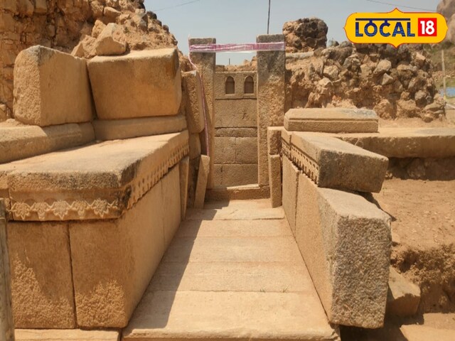
As the district was created out of old Ranchi district by Government of Bihar Notification dated 16.5.1983, its recorded history is contained within the parent Ranchi district priorto the notification.Owing to the Kol rising in 1881–82, the South-West non-regulation frontier was created,after which Lohardaga district came into existence, which owned the present Gumla district.In 1899, the name of the district was changed from Lohardaga to Ranchi.In ancient times, the area of the district along with neighboring western tract was under the possession of Mundas and Oraons. To the Aryans, the area was known as Jharkhand or forest territory. It was beyond the pale of Hindu influence.

Ancient and Medieval Period
The area possibly came under the Magadhan empire during the reign of Ashoka the Great (273–232 B.C.). With the decline of Mauryan power, King Kharavela of Kalinga led an army through Jharkhand and ransacked Rajgriha and Pataliputra.Later, Samudra Gupta (335–380 A.D.) must have passed through the area on his expedition to the Deccan. The Chinese traveler Itsing is also believed to have journeyed through the Chotanagpur Plateau.The Chotanagpur Raj is believed to have been established in the fifth century A.D. after the fall of the imperial Guptas. Phanimukut was elected the first king.It is said that he was found by the side of a tank under the protection of a Nag (snake), and thus the dynasty founded by him came to be known as the Nag Dynasty.
Muslim Period
It was only Akbar who could extend Muslim influence in the area. As per Ain-i-Akbari,Chotanagpur was reduced to the position of tributary by the force of Akbar throughShahbaz Khan and was included in the Subah of Bihar.After Akbar’s death in 1605, the area presumably regained independence. In 1616,
Fateh Jang captured Durjan Sal, the 46th king of Chotanagpur.

Further Developments
In 1632, Chotanagpur was given as jagir to the Governor at Patna against annual payment of Rs. 1,36,000. In the time of Muhammad Shah (1719–1748), Sar Buland Khan, the Governor
of Bihar, defeated the Raja of Chotanagpur.The district enjoyed relative peace from 1624, when Durjan Sal was released, until the appearance of the British in 1772.
British Period
Emperor Shah Alam-II granted the Diwani of Bengal, Bihar and Orissa to the East India Company in 1765. Chotanagpur was included within Bihar. Prompted by internecine quarrels,Captain Camac attacked Palamu in December 1771. Captain Camac was succeeded by Chapman, the first civilian administrator of Chotanagpur. Agrarian discontent against begari, coupled with enhancement of rent by the thikedars or intermediaries, caused the Sardari agitation. By 1887 the movement gained momentum and many Munda and Oraon cultivators refused to payrent to landlords. With the appearance of Birsa Munda, believed to be a manifestation and incarnation of God, the agitation reached its height in 1895. Birsa Munda declared that the land belonged to the people who reclaimed it from forests and that there was no need to pay rent. He had a far-reaching influence on cultivators and people of Gumla as well.
Major Movements
Birsa Munda Movement
The Birsa Munda movement became one of the most important tribal uprisings in the region, shaping resistance against exploitation and asserting indigenous land rights.
Tana Bhagat Movement
A local leader, Jatra Oraon of Bishunpur police station, led the religious Tana Bhagat movement in 1914. The non-cooperation movement led by Jatra later spread to Palamu and
Hazaribagh districts.